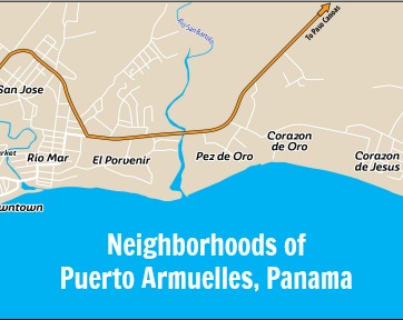
This map does not include all the neighborhoods in Puerto, but it show the ones of most interest to expats and retirees.
The map should help a visitor to more quickly get their bearings.
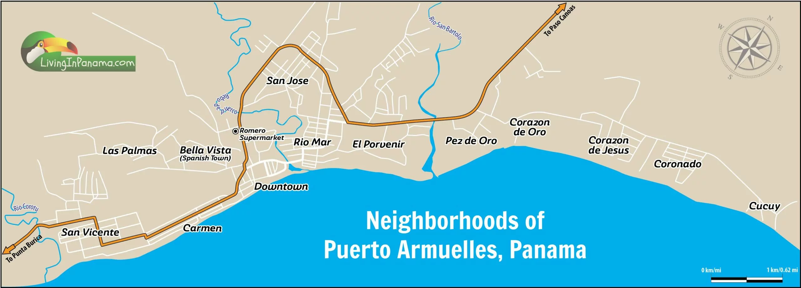
The 13 neighborhoods included on the map, going roughly from east to west:
Between downtown and Rio Mar is the Pueblo Nuevo neighborhood. It isn't shown on the map due to scale issues.
For information and photos of these neighborhood, click here.
The names of the rivers and creeks on the map are hard to read. So I am repeating them here.
Starting in the east, in the San Vicente neighborhood, and going west, the rivers are.
I will try to upload a higher resolution version of the map soon.
In the near future, I will have a map that includes the locations of restaurants, hotels, and other places of interest to people.
Want something shown on a Puerto Map?
Let us know.
If you want to know more about Puerto Armuelles, start here.
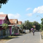
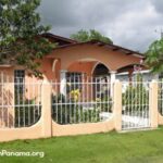
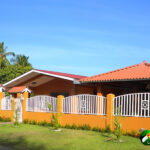
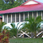
This La Palmas house is almost unchanged since Chiquita Banana built it in the 1930sThese 10 neighborhoods are the ones that most interest people moving to or investing in Puerto Armuelles, Panama.
In the near future, we will add at least 2 photos for each neighborhood on that page. I first need to format the photos to fit on the page property.
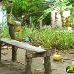
However, I can share photos of some of Puerto Armuelles' neighborhoods below.

A main intersection in Downtown Puerto Armuelles
We wrote of about 6 neighborhoods in or near the downtown area of Puerto Armuelles.
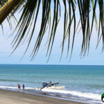
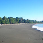
Each has a distinct character and feel. Almost all of them are on the ocean.
Click here, to learn about these, and many other neighborhoods in Puerto Armuelles.
Main road through CarmenA look at these neighborhoods gives a sense of how unique Puerto Armuelles is compared to other locations in Panama.